Highlights
Saving time – lots of time – by using drones, software, and ingenuity

Challenges
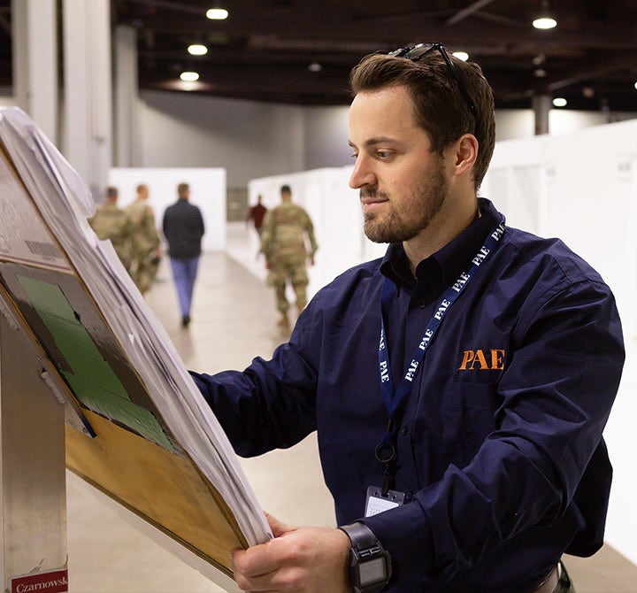
PAE, a defense and government services company, needed a more efficient way to perform facilities assessments for large government clients.

Results
PAE gained clearer insight into assets and potential problems and acquired the ability to track changes in topography, structures, and equipment over time. Ultimately, it saved time and money.

Solution
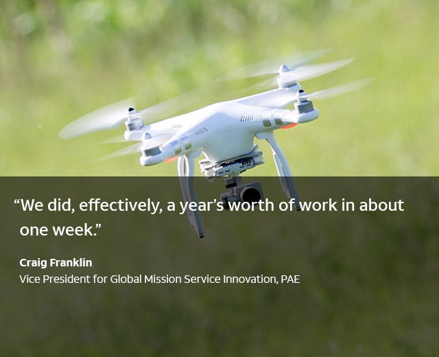
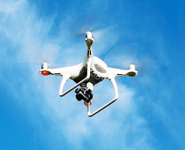
Drones powered with MissionKeeper® software perform thermal imaging and Light Detection and Ranging (LiDAR) scans. Multiple users in different locations can view the live data stream for quick collaboration and field-based decisions.
AT&T Solutions
Discover a solution designed to fit your business needs

Network professional services
Our professional services help you plan, transform, and optimize your network.

IoT Consulting
Simple to complex, the AT&T IoT Professional Services teams can help you design, roadmap, and implement your IoT vision from proof-of-concept to mass deployment.
About
Supporting the U.S. government by doing facilities assessments
About PAE
PAE, a defense and government services company, merges technology with advanced business practices to deliver faster, smarter, and more efficient managed services. Its global workforce delivers services on all seven continents.